United Caribbean
KIMI Suriname
Antiochie Paranam
Mission Suriname
Mission Trip 2009
|
|
home >>suriname>>suriname
river
Suriname
River-
 |
Sourced wikipedia.org
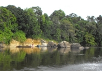
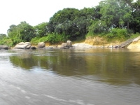
The Suriname River is 480 km long and flows
through the country of Suriname. Its sources are located in
the Guiana Highlands on the border between the Wilhelmina
Mountains and the Eilerts de Haan Mountains (where it is known
as the Gran Rio). |
| The river flows below
the reservoir along Brokopondo, Berg en Dal, the migrant communities
Klaaskreek and Nieuw-Lombé, Jodensavanne, Carolina, Ornamibo
and Domburg, before reaching the capital Paramaribo on the left
bank and Meerzorg on the right bank. |
|
|
|
 |
|
 |
At Nieuw-Amsterdam it is joined
by the Commewijne and immediately thereafter at the sandspit
Braamspunt it flows into the Atlantic Ocean.
The river has several sets of rapids as well
as a few dams, the largest of which is the Afobakadam.
|
| The river's flow
is interrupted by the Brokopondo Reservoir, which therefore
divides the river into two sections. The upstream section runs
almost entirely through the Sipaliwini district, and the downstream
section runs through the Brokopondo, Para, Commewijne, Wanica
and Paramaribo districts. |
|
 |
For import and export, the Suriname
is by far the most important river in the country. Not only
do all vessels carrying bauxite, aluminum oxide and aluminum
depart from Suriname via the river, nearly all vessels carrying
materials vital for Suriname enter the country at Braamspunt
in order to offload their cargoes in the harbours of Paramaribo
- or the harbours of Smalkalden and Paranam – approximately
30 km from Paramaribo – which are vital for the aluminum
industry. |
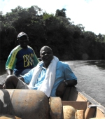
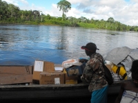
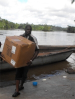
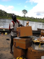
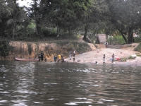
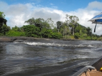
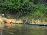
Seen here the Make
Jesus Smile shoeboxes being transported up the Suriname
River and arriving at Tjaikondre.
Click on the pictures to enlarge. |
|
|
|
|

